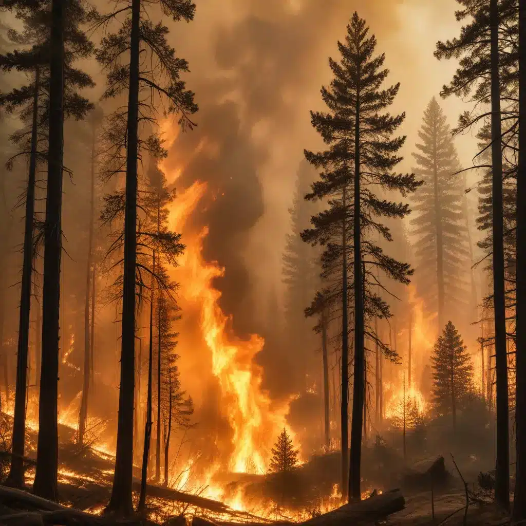
Harnessing the Power of Technology to Safeguard our Forests
As a seasoned IT professional, I’ve witnessed the rapid advancements in technology that have transformed various industries, and the field of natural disaster management is no exception. In this article, we’ll delve into the innovative use of satellite data and machine learning to tackle the pressing challenge of wildfire prediction and mitigation.
Leveraging Satellite Imagery and Geospatial Data
In recent years, the escalating frequency and intensity of wildfires have posed significant challenges for governments, emergency responders, and infrastructure managers worldwide. To address this pressing issue, researchers at the Department of Energy’s Pacific Northwest National Laboratory (PNNL) have been pioneering a groundbreaking approach that harnesses the power of satellite imagery and geospatial data.
PNNL’s work began in 2014 with the vision of leveraging diverse imaging resources, including satellites, aircraft, and drones, to quickly assess the hazards and impacts of wildfires, floods, hurricanes, and other natural disasters on critical energy infrastructure. The team, led by Chief Scientist Andre Coleman, set out to develop machine learning models and tools that could automatically analyze this imagery and provide actionable insights to emergency management and operations professionals.
The Shift Towards Proactive Risk Assessment
Initially, PNNL’s focus was on near real-time response, but over time, the emphasis shifted towards proactive risk assessment. This shift was catalyzed by the increasing severity of wildfire events, with historic fires consuming more than 10 million acres in 2017 and 2020, prompting the recognition of wildfires as a national emergency.
“I think there was just this realization that fire is not the same as it once was,” says Coleman. “It burns more intensely; it moves faster.”
Advances in satellite technology have been a key driver in PNNL’s current approach, which involves integrating data from various satellite sensors, including passive and active sensors. Passive sensors capture reflected energy, while active sensors can penetrate cloud cover, storms, and smoke, enabling continuous monitoring even in adverse conditions.
By leveraging open-access satellite data and commercially collected imagery, as well as collaborating with agencies like NASA, the United States Geological Survey, and the European Space Agency, PNNL has tapped into a robust data ecosystem for its analysis.
The RADR Platform: Combining AI, Cloud Computing, and Damage Assessment
One of the significant milestones in PNNL’s work is the development of the Rapid Analytics for Disaster Response (RADR) platform. This platform combines multi-modal imagery, AI, and scalable cloud computing to provide users with a comprehensive infrastructure damage assessment tool.
The RADR platform can process new imagery, typically collected within 4 to 6 hours, and disseminate the resulting analytics in just 7 to 10 minutes. However, newer satellite communications and increased automation are helping to drive this latency down to under an hour.
“The idea is to keep adding and improving our algorithms, incorporate more sensors as they come online, continue to mature the capability and really work to get this out to as many end users as we can,” says Coleman.
Expanding the Scope: Safeguarding Critical Infrastructure
PNNL’s efforts are not limited to natural threats; they are taking a more holistic approach to safeguarding critical infrastructure, including the rising challenges of physical and cyber attacks.
“A big role for us at the lab is to look at all these kinds of dimensions and say, ‘How do we protect the grid? How do we make it more resilient as our reliance on energy continues to increase?'” explains Coleman.
By integrating environmental, cyber, and physical security considerations, PNNL aims to build a more resilient energy grid capable of withstanding diverse challenges.
Predicting Wildfire Spread with Machine Learning
While PNNL’s work on disaster response and infrastructure resilience is impressive, the focus of this article is on their groundbreaking efforts in predicting the spread of wildfires using machine learning techniques.
Addressing the Challenge of Large-Scale Fire Prediction
Predicting wildfire spread behavior is an extremely important task, but it becomes increasingly challenging when dealing with vast, remote forest territories. Traditional ground-based monitoring methods are often impractical on a large scale, making remote sensing data from satellites a promising solution.
The primary challenge lies in developing an effective pipeline that combines geospatial data collection and the application of advanced machine learning algorithms. Most existing approaches focus on short-term fire spread prediction, utilizing data from unmanned aerial vehicles (UAVs). In contrast, PNNL’s work aims to address the challenge of forecasting fire spread on a large scale, with a prediction horizon ranging from 1 to 5 days.
Leveraging Multimodal Data and the MA-Net Architecture
PNNL’s researchers have curated a comprehensive dataset encompassing environmental and climate data, as well as historical fire records, for three regions in Russia: Krasnoyarsk Territory, Republic of Sakha (Yakutia), and Irkutsk Region. These regions have been particularly impacted by wildfires, with carbon emissions from forest fires in 2019 reaching 82 million tons within these areas alone.
To tackle the task of predicting fire spread, the team employed the MA-Net architecture, a popular neural network model for image segmentation tasks. The model’s input consists of a multichannel tensor that includes 11 static features, such as vegetation maps, and 10 dynamic features for each of the 5 prediction days.
Achieving Accurate Predictions with Advanced Techniques
The researchers experimented with various loss functions, including Dice Loss, Focal Loss, and a combination of the two, to train the MA-Net model. The best-performing configuration achieved an impressive F1-score of 0.68 for the first day of prediction, with the score gradually decreasing to 0.65 by the fifth day.
In addition to the F1-score and Intersection over Union (IoU) metrics, the team also evaluated the model’s performance using Mean Absolute Error (MAE) and Mean Absolute Percentage Error (MAPE) for both the predicted burned area and the fire propagation velocities in the four cardinal directions.
The results demonstrate the model’s ability to accurately forecast the spread of wildfires, with the MAPE metric ranging from 22.8% for the first day to 24.1% for the fifth day. This level of accuracy is highly valuable for supporting emergency response systems and facilitating rapid decision-making.
Unlocking the Potential of Feature Importance Analysis
One of the key aspects of the PNNL research is the analysis of feature importance, which provides valuable insights into the model’s decision-making process and the relative significance of different input variables.
The team evaluated the impact of excluding various feature groups, such as land cover properties and wind characteristics, on the model’s performance. The results highlighted the critical importance of wind data, as excluding this information led to a significant drop in the F1-score, from 0.66 to 0.51.
This finding underscores the necessity of accurate and high-resolution weather data for effective wildfire spread prediction. It also suggests that further refinements to the model, such as incorporating more detailed wind measurements or exploring the influence of other environmental factors, could lead to even more accurate forecasts.
Expanding the Reach and Adapting to New Regions
While the PNNL research has primarily focused on the northern regions of Russia, the team has also tested the model’s performance on other areas, such as the Rostov Oblast in southern Russia.
The results showed that the model maintained a strong performance in the Irkutsk Region, with an F1-score of 0.85 and an IoU of 0.74 for the third day of prediction. However, the model’s accuracy decreased when applied to the Rostov Oblast, with an F1-score of 0.65 and an IoU of 0.48.
This discrepancy highlights the importance of adapting the model to different environmental conditions and characteristics. The northern regions, where the model was primarily trained, may have distinct features, such as vegetation types, topography, and weather patterns, that the model has learned to recognize effectively.
To improve the model’s performance in new regions, the researchers suggest incorporating additional training data from these areas and fine-tuning the model’s architecture and hyperparameters to better capture the unique environmental characteristics.
Conclusion: Embracing the Future of Wildfire Prediction
The work of PNNL’s researchers demonstrates the immense potential of leveraging satellite data and machine learning to address the pressing challenge of wildfire prediction and mitigation. By developing advanced models like MA-Net, which can forecast fire spread over a multi-day horizon, emergency responders and land management agencies can make more informed decisions and better prepare for the impending dangers.
As the frequency and intensity of wildfires continue to rise globally, the need for such innovative solutions becomes increasingly crucial. PNNL’s collaborative efforts with various government agencies, research institutions, and private stakeholders have already made significant strides in enhancing infrastructure resilience and disaster response capabilities.
Looking ahead, the integration of even higher-resolution satellite data, advancements in weather forecasting, and continued refinements to machine learning algorithms will undoubtedly push the boundaries of wildfire prediction and management. By embracing these technological advancements, we can better protect our communities, safeguard our natural resources, and build a more resilient future in the face of these environmental challenges.


